Visual Survey Data
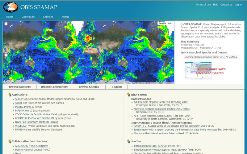
The US Navy Marine Species Monitoring Program conducts a variety of visual surveys from aerial and vessel platforms in both the Atlantic and Pacific oceans. Much of the data from these surveys is archived in Ocean Biogeographic Information System Spatial Ecological Analysis of Megavertebrate Populations (OBIS-SEAMAP), a spatially referenced online database, aggregating marine mammal, seabird and sea turtle observation data from across the globe. Available survey data can be viewed and downloaded through the Navy’s data provider page on OBIS-SEAMAP. Reports and publications related to monitoring program surveys can be found in the Reading Room.


